Dear Rye News
Thanks for your excellent local electronic “newspaper”.
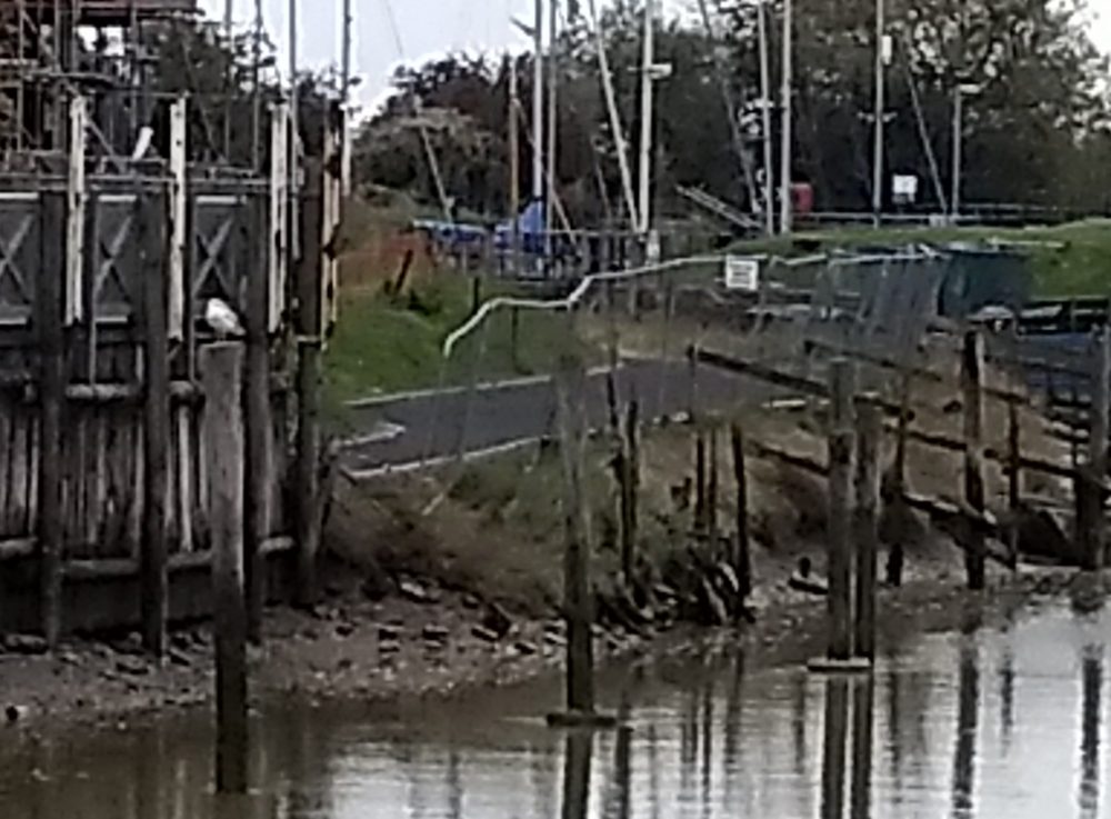
Have you noticed the new riverside path next to the new houses at Bridge Point? See photo, above.
Initially, the planning permission was for a new usable path at high level adjacent to the floodwall.
Then the developer proposed “realignment” at low level dangerously close to the river and subject to flooding during high spring tides.
Goodness knows how planning approval was given for the houses to be built so close to the floodwall. Goodness knows how the floodwall will be maintained in the future. That’s without considering the possibility of needing to raise its height to meet climate change predictions.
Then we find that the promised riverside walk will be relocated where it will be overtopped, get slippery and unsafe.
Now, if you look, you will see that the path slopes dramatically, side-to-side, towards the river. Who cares? Obviously not the developer who appears only to be concerned about profit.
The drawing approved under planning shows a path that appears reasonably level (I’ve just checked on Rother’s planning website).
As built the path will not be usable! Certainly not by wheelchair users or parents with pushchairs. And it certainly won’t be usable after it has been flooded, covered with silt deposits and become slippery.
This subject will roll on! In the meantime the developers promise Rye further attractive development (which will of course be extremely profitable for the developer). On the current performance, who will believe their promises?
Yours
Geoffrey Austen
Image Credits: Geoffrey Austen .


