

A recent fact finding visit to Rye by Dr Martin Hurst, the Chair of the Southern Region Flood and Coastal Committee (SRFCC) prompted a reconsideration of Rye’s local flood risks. As the SRFCC spends a lot of time considering climate change, it was high on the agenda for the visit.
Few now argue that emissions of greenhouse gases have not led to a rise in global temperature. The consequences are visible around the world: ice cap melt, rising sea levels, droughts and extreme weather events. In the UK winter temperatures have reached above 20°C with extreme weather events becoming more frequent resulting in 100mm of rainfall in some 24 hour periods. This causes surface water, high ground water levels and aggravates tidal flood risk
The Meteorological Office is modelling these trends and projects how the climate may change over the 21st century. Higher temperatures mean a warmer atmosphere that can hold more moisture, increasing the frequency and strength of extreme rainfall events. While summers are expected to become drier overall, climate change means that rainfall could become heavier. Intense rainfall could become almost five times more frequent by 2100. Sea levels could be higher by around one metre. The SRFCC takes account of this in its priority setting for flood defence projects.
Global targets to arrest warming, but not agreed by all, have been set to keep temperature rise within 2°C by 2050. Activists want to go faster and keep lower but it is unlikely that populations are prepared to take the impacts of doing so.
The Committee on Climate Change (CCC) as the expert body advising the government, has called for evidence to inform the Sixth Carbon Budget, required under the Climate Change Act, in September 2020. The report will provide ministers with a recommendation on the level of greenhouse gases the UK can emit during the period 2033-2037. It will set out a pathway to meeting the UK’s new net-zero emissions target in 2050, and is the first carbon budget to be legislated following that commitment.
The UK Government’s Climate Change Risk Assessment in 2012 warned that we currently expect a shift towards generally wetter winters, and a greater proportion of precipitation to fall as heavy events. In 2017, the assessment presented compelling evidence that climate change may lead to increases in heavy rainfall and significantly increased risks from fluvial and surface flooding.
In Rye we see the direct effects of climate change: extreme rainfall causing high ground water, surface water flooding and the combined sewerage and water run off causing occasional spillage.
Extreme weather events also contribute to the sort of tidal surge that hit the east coast in December 2013. Then three factors combined to produce the surge. First there were very high spring tides; secondly, low pressure in the North Sea caused water levels to rise further and, lastly, there were strong northerly on-shore winds which tend to funnel tidal streams into the relatively enclosed shape of the North Sea. Although the worst effects were felt along the East Coast, as in 2007, we saw an impact on levels in the English Channel coast as far as Rye Bay.
With Rye at the confluence of three rivers and under tidal influence, water levels from all sources are always of concern. In recent years, flood defences have been greatly improved, with raised and improved river and sea walls fitted with flood gates on access points. Once a forecast of an extreme tide above 4.7m is given Environment Agency teams close the flood gates and at low tide drop the river levels on the Brede and Tillingham to cope with river flow.
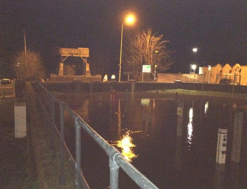
In December 2013, the forecast high tide was for around midnight at a level of 4m, but for an hour afterwards the sea surged to a new high: 5.1 m at the Rye Strand ramp opposite the River Haven Hotel. At its peak, the water rose about half-way up the flood walls/gates at the Strand (within 70cm or 22.5 inches of the top) but, apart from seepage through one or two weak spots – yet to be fixed by the Environment Agency – the system held.
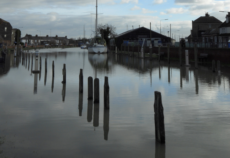
In the Rock Channel, some workshops and garages on the river side of the defences took in water; the basements of the houses at Rock Channel Quay are designed to be part of the river wall and also flooded, later to be evacuated by pumps designed for the purpose.
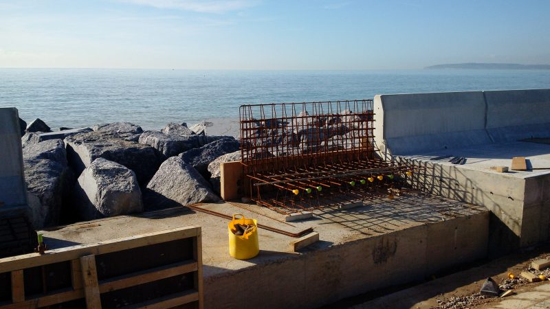
At Rye Harbour, a flap cover on a drain outlet failed to seal properly, allowing water to flow within a metre or so of houses. The sailing club clubhouse was less fortunate and was badly damaged and, down on the nature reserve, Lime Kiln Cottage Visitor Centre was flooded and part of the road outside was washed away. The cottage has now been demolished to accommodate the new flood proof discovery centre.
The event showed that when the flood defence system works, even under surge conditions, the risk to Rye is managed but if any part of the infrastructure fails then the situation can worsen rapidly, with homes and businesses threatened. Clearly maintenance and vigilance are vital to ensure continuing effective defences for the 1200 or so dwellings sited close to high tide level.
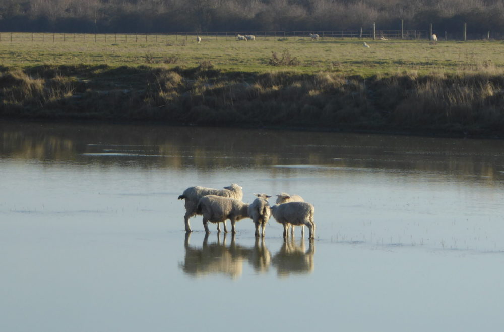
High tides are only one aspect of Rye’s flood risk. After days of heavy rain, groundwater, springs and rivers combine to result in high levels of water. Therefore, the conditions which give the most concern in Rye are when there is a combination of: spring tides with a surge of water on top; strong on-shore winds; persistent heavy rainfall on saturated ground, perhaps with some ponding, and high river levels.
Rye depends on numerous open drains and sewers to carry surface water away to the rivers. Some are on private land and therefore owners have riparian responsibility for maintenance. Runoff from dwellings is often designed to flow into the combined sewerage and waste water system, but an excess will overload the system. The result can be foul water spillage into public spaces.
Therefore, extreme conditions combine to test all parts of the sea and river defence infrastructure, the combined sewerage and water run-off system. This highlights the need for continual and regular maintenance of valves, flaps and pumps, for it is often this work which is cut back in times of financial constraint.
The Rye Neighbourhood Plan considered flood risks in some detail and provides policy to mitigate risks affecting all future development. As part of local efforts to mitigate emissions and tackle pollution there will be an initiative in 2020 to address more planting to improve green infrastructure.
For the public, it remains important in times of extreme weather to listen to the Met Office forecasts and Environment Agency warnings. These are designed to alert but not alarm. When there is high risk, residents in low lying areas should be prepared to react to the instructions from the emergency services and local authorities. REACT provides advice and information both on the Rye Town Council website and at events such as the annual town meeting each March.
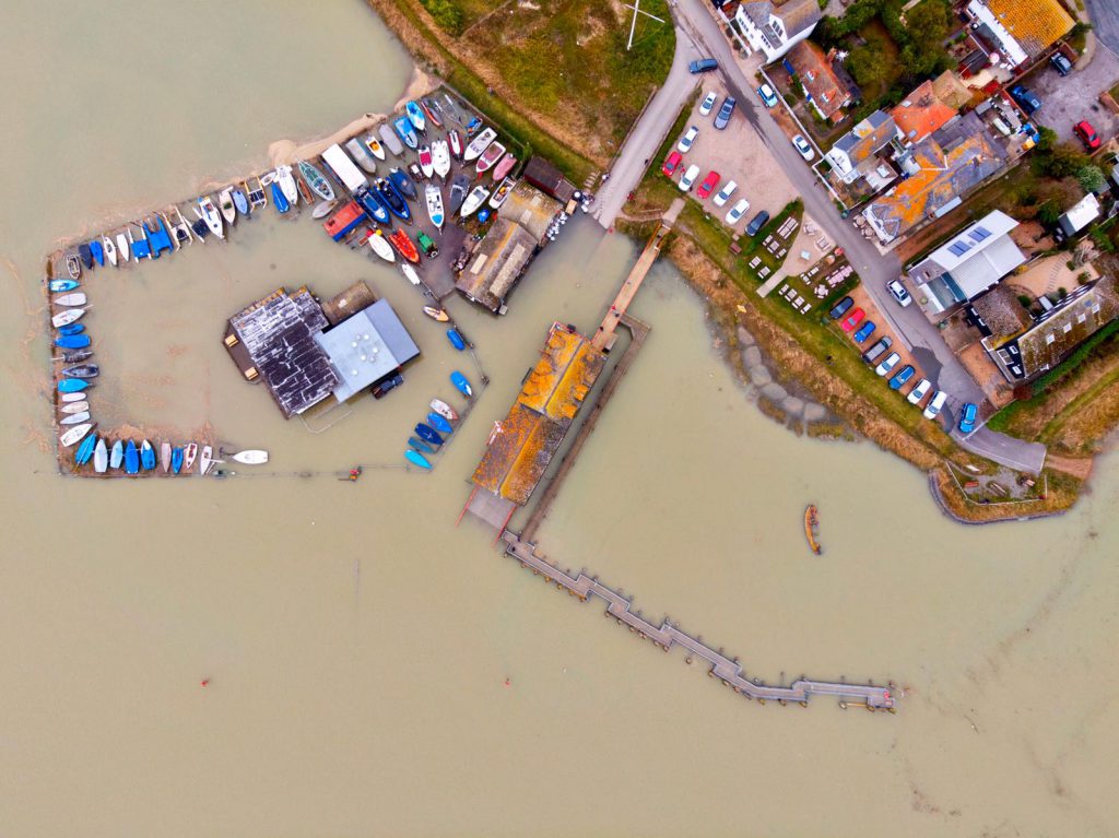
Image Credits: Rye News library , John Minter , Patrick Bonham , Rye News library https://www.ryenews.org.uk/opinions/rye-really-risk-flooding , Environment Agency , Owen Kemp .
I cannot remember when the Rother was last dredged! Surely this would help – the bends between the lock gates and the town get narrower each rainy season, and I have not seen the river above Iden Lock so high.
Now at long last with brexit nearly finalised, we will not be under eu rules,which prevents the environment agency from dredging our rivers,which certainly has not helped, this worrying concern.
John – this is another Brexit myth. There are no EU rules banning dredging / de-silting. See my comments to your post for the opion piece ‘Heading Under Water’ from 5 December. In reality the reduction in dredging / de-silting is more down to treasury financial restraints, and these will continue post-Brexit.
A simple question I ask: Iceland’s Volcano is discharging 85 tons of carbon dioxide per day into the atmosphere; resulting in aircraft no fly zones. Add to this the numerous man made and natural causes bush and forest fires worldwide, again discharging enormous amount of carbon dioxide, all seriously contributing to global warming. What does the global Governments propose to do to rectify this problem. I trust this is something to consider….
Good thread explaining about dredging: https://twitter.com/EAGeomorphology/status/1205458953091657728
In answer to John Wylie, the climate summit in Madrid in December (COP 25) gathered thousands of delegates from across the globe with the aim of turning the measures to deal with climate change in Paris in 2015 into action.
At the end, the UN Secretary-General stated: ” I am disappointed with the results of COP25. The international community lost an important opportunity to show increased ambition on mitigation, adaptation and finance to tackle the climate crisis. We must not give up and I will not give up. I’m more determined than ever to work for 2020 to be the year in which all countries commit to do what science tells us is necessary to reach carbon neutrality in 2050 and a no more than 1.5-degree temperature rise.
Most commentators were disappointed with this. It appears that governments are not reflecting the wide public concern about climate change impacts. Action has again been deferred!