
As the rain poured down this week some residents received warnings about possible floods, the rivers looked very full, and localised flooding has happened in the past with Mason Road in Tilling Green and Winchelsea Road near Strand Quay being among the places affected – the former by rainfall, the latter by a high tide.
So Anthony Kimber was asked for an update as he is the leader of the local resilience team, Rye Emergency Action Community Team (REACT) and a member of the Southern Regional Flood and Coastal Committee, that sets priorities for flood risks and related matters for the south of England.
He writes: “At the confluence of three rivers, with close proximity to the sea, and with mostly high ground water, several recorded surface water hotspots and a sewerage system liable to spillage, you would expect that flood risks around Rye are complex and demand close consideration – and the Rye neighbourhood plan was required to consider all flood risks in its development planning and document them in a comprehensive flood risk assessment”.
What the plan had to say
The river defence system is regularly tested by high spring tides and river and surface water on the “dry side”. The highest water levels in recent years occurred in December 2013 and these were considered in a December 19, 2019 article about the potential impacts of climate change.
Local flood risks and what is being done to mitigate them are regularly featured in Rye News in articles such as this on Feb 9, 2014 and another story from November 25, 2016.
So this article is to remind those who dwell and work close to the waters of Rye, that REACT and multiple bodies, including the Environment Agency, the Internal Drainage Board, Southern Water and Highways in support of the local and county authorities, continue to work to maintain the water defence systems to reduce risks and keep people dry – although REACT (Facebook @ryeact) provides a local focus for all civil emergencies and risks.
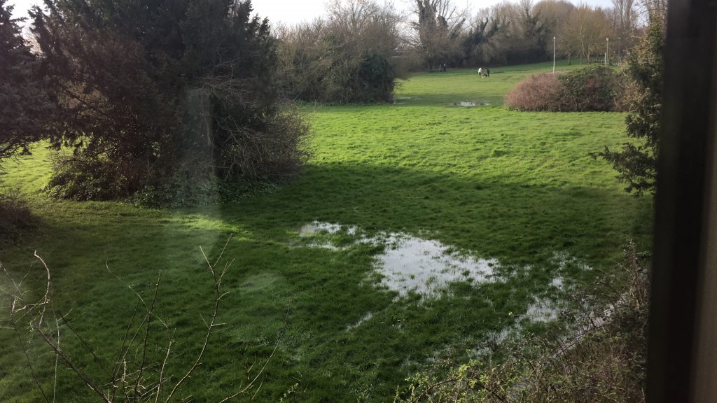
When Rye town meetings take place REACT provides an aide memoire for those in higher risk places and copies are available from REACT. Do report all incidents of flooding or “ponding”, preferably with images so that action can be taken (see photos above and below).
Advice on wider issues and risks can be found on the government’s flood online services.
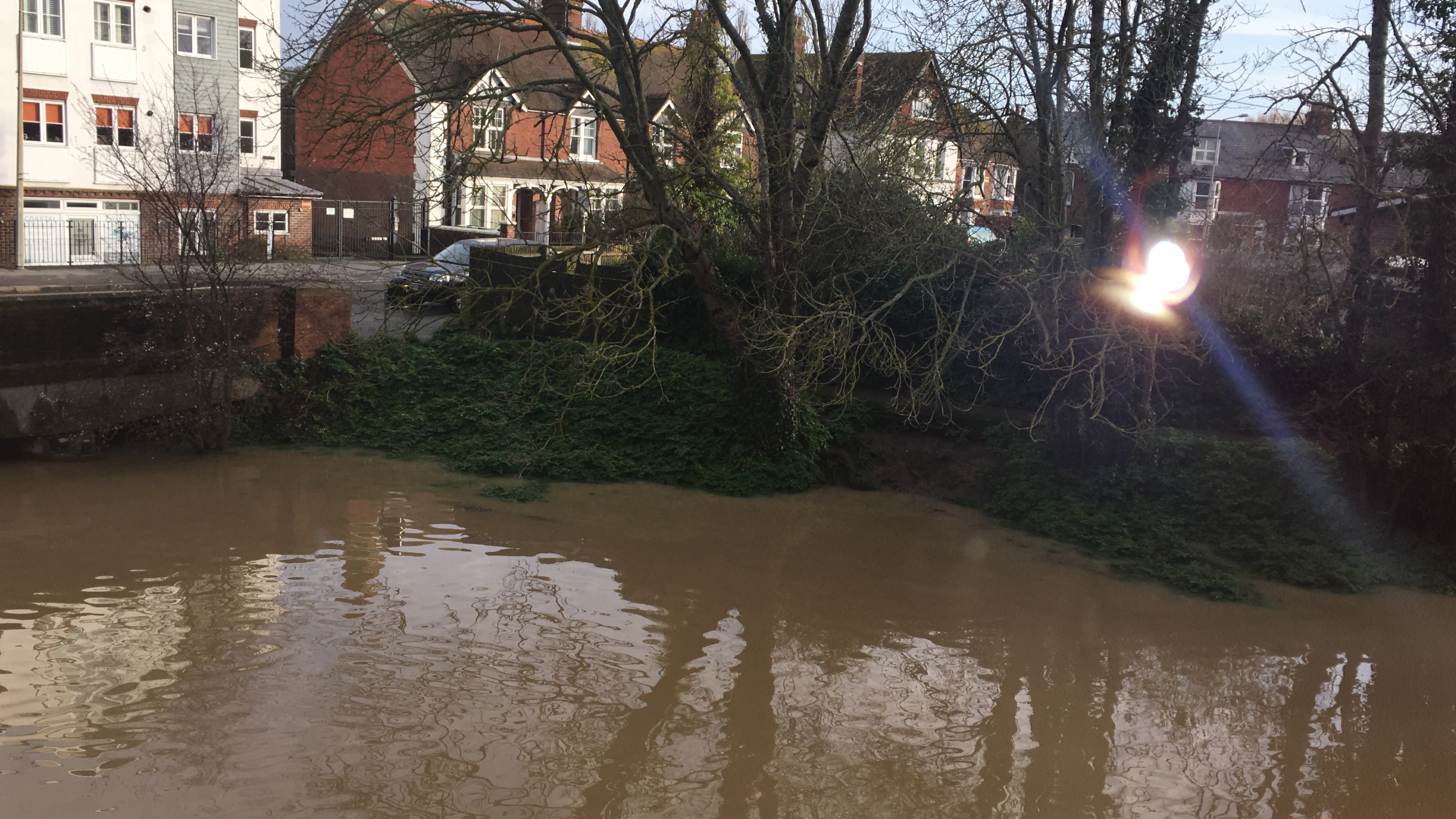
Image Credits: John Izod , Gillian Roder .