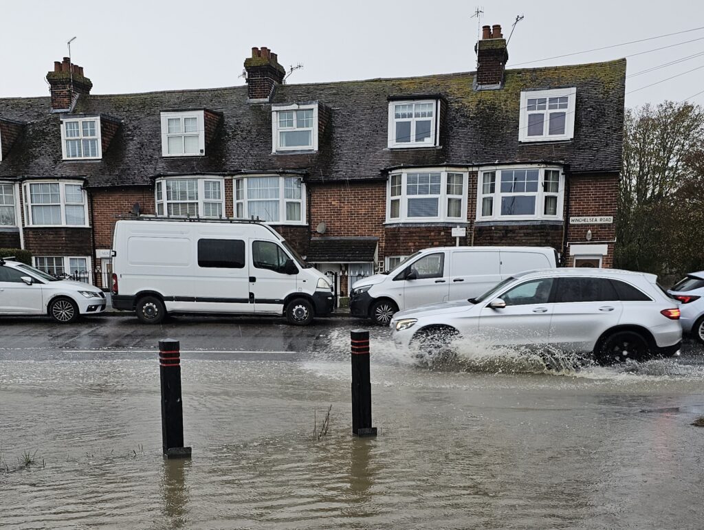
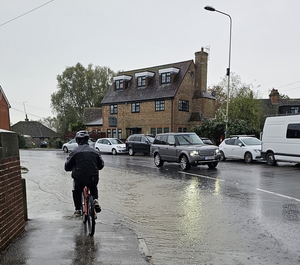
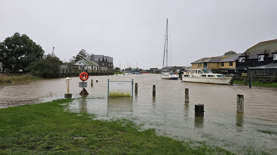
Over the last weekend flood risks were high. There was a high tide, caused by the strong gravitational force of Sun, Moon and Earth alignment. The high tide coincided with persistent rainfall in the preceding days, causing high ground water, full river flows and some surface water runoff at places which are known for “ponding”. At its highest, the tides rose to 4.4m above ordnance datum (AOD) at the Strand, high, but well below the 5.1m AOD seen in December 2013.

Rye fared better than Hastings, where those around the Priory Meadow shopping centre saw more flooding as the drains failed to cope with water runoff from the high ground.
As leader of the local resilience team (REACT), I have written in the past about flood risks around Rye. I have explained: “At the confluence of three rivers, within close proximity to the sea, with high ground water and multiple outfalls from springs there are several recorded surface water ‘flood hotspots’. Aggravated by a sewerage system liable to spillage, you might expect that there are flood risks, which demand careful consideration. Work on the Rye neighbourhood plan included extensive flood risk assessment, set out in the plan’s support documents.”
I have explored flood risks in some of my earlier pieces: https://www.ryenews.org.uk/letters/opinions/rye-really-risk-flooding
https://www.ryenews.org.uk/community/local-flood-risks
Over the weekend the Environment Agency put out flood alerts for the coast from Fairlight to Dungeness including the tidal Rother. They warned that flooding was possible for coastal and tidal areas from Fairlight to Dungeness including the tidal Rother to Rye, Rye Harbour and East Guldeford.
For those with homes and businesses in low lying areas and adjacent to rivers, the message was “be prepared” and for individuals to monitor water levels and weather conditions. There was also a warning to avoid using low lying footpaths or entering areas prone to flooding.
In reality the tidal river defences protect homes and businesses around Rye but the overloading of the road drainage and sewerage system can cause ponding in places such as the north-west corner of the Strand. Here the outfalls of certain drains are controlled by flaps to the tidal system and if the tide is up then the flaps are closed causing build up on the inboard side. Despite endless conversations with the authorities and agencies, solutions such as draining water to the river side have not been seriously explored or funded.

Some residents, who had received flood warnings, telephoned for advice. As the rain continued to fall and with the rivers looking very full, some surface water ponding was expected, particularly in those places where there is a record of drains failing to cope. I should emphasise that the Environment Agency’s operational teams were monitoring the water levels and preparing to close flood gates as levels threatened to rise to high risk upper levels.
Update Thursday November 2

To follow the bad weather of last weekend, the Met Office has issued amber weather warnings with the potential of up to 80mph winds and 50-60mm of rain, for the south coast of England for Thursday, November 2 as Storm Ciaran approaches.
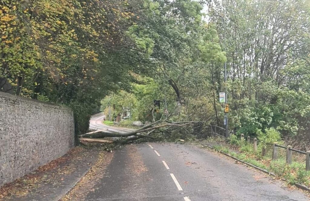
On Thursday morning there were gusts of wind of 70mph and bursts of heavy rain since the early hours with trees down on Rye Hill and in places such as Westfield to Brede and Iden to Tenterden. Exposed roads such as Military Road need caution and there is lots of leaf and small debris reported in and around Rye.
After a message to avoid unnecessary travel, there is significant disruption on both roads and rail. Advice given for those driving is to take extra care, and avoid driving through flood water – there may be hidden hazards and it may be deeper than it looks.
For those who want more, do check out the following and register with Floodline for regular updates.
- Visit the gov.uk website to see the current flood warnings, view river and sea levels or check the five-day flood risk forecast: https://check-for-flooding.service.gov.uk/target-area/064WAC306
- Or call Floodline on 0345 988 1188 using quickdial code: 217008.
- Follow @EnvAgency and #floodaware on X.
- Tune into weather, news and travel bulletins on local television and radio.
This article is to remind those who dwell and work close to the waters of Rye, that REACT and multiple bodies, including the Environment Agency, the Internal Drainage Board, Southern Water, and Highways, in support of the local and county authorities, continue to work to maintain the water defence systems to reduce risks and keep homes and businesses dry.
For specific local advice please contact REACT via the town hall.
REACT (Facebook @ryeact) provides a community focus for all civil emergencies and risks.
Image Credits: Anthony Kimber .


4.4mtrs above the datum, it was predicted at 4.3 so just about spot on.
I left school in 1967 and worked at Herbie Phillips boat yard in Rock Channel, back then tides were predicted in feet and inches and spring tides were around 14’ 2” which converts to around 4.3 mtrs.
It wasn’t unusual to have the water in the workshop, every thing was raised above where we knew the water would come to.
Nothing new on Strand Quay, it’s always topped the walls and flooded on the corner which I see is now referred to as ponding, we called them puddles.
We are fortunate indeed to have someone as knowledgeable, diligent and committed to public service as Anthony Kimber here in Rye. Thanks Anthony for such useful updates and for helping keep us safe.