

In last week’s edition we reported on a new theory about where the Battle of Hastings actually took place in 1066 – which was between Great Sanders and Hurst Lane near Sedlescombe as the invading Norman army needed to cross the Brede from their camp site near Winchelsea to fight the Saxons.
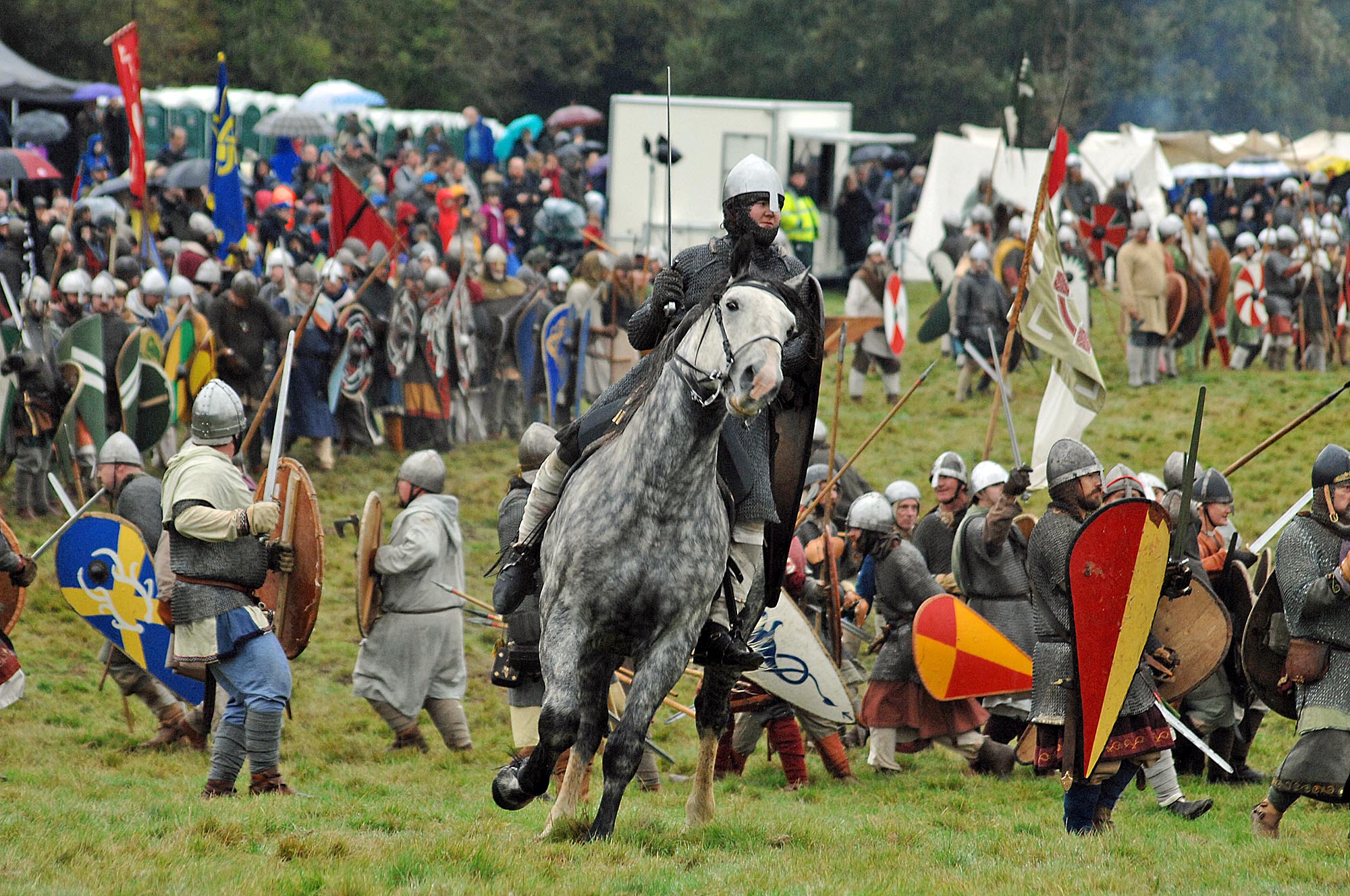
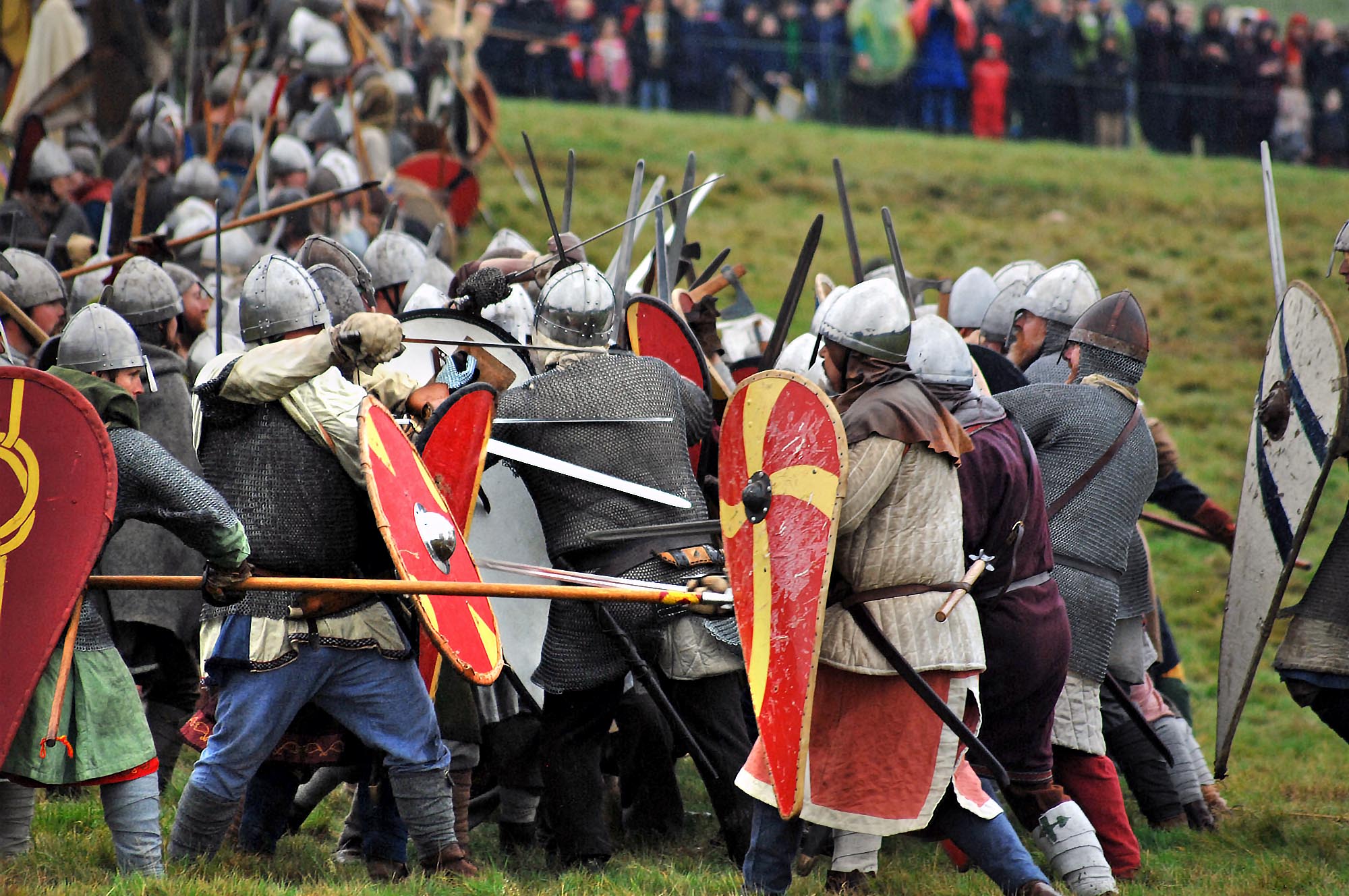
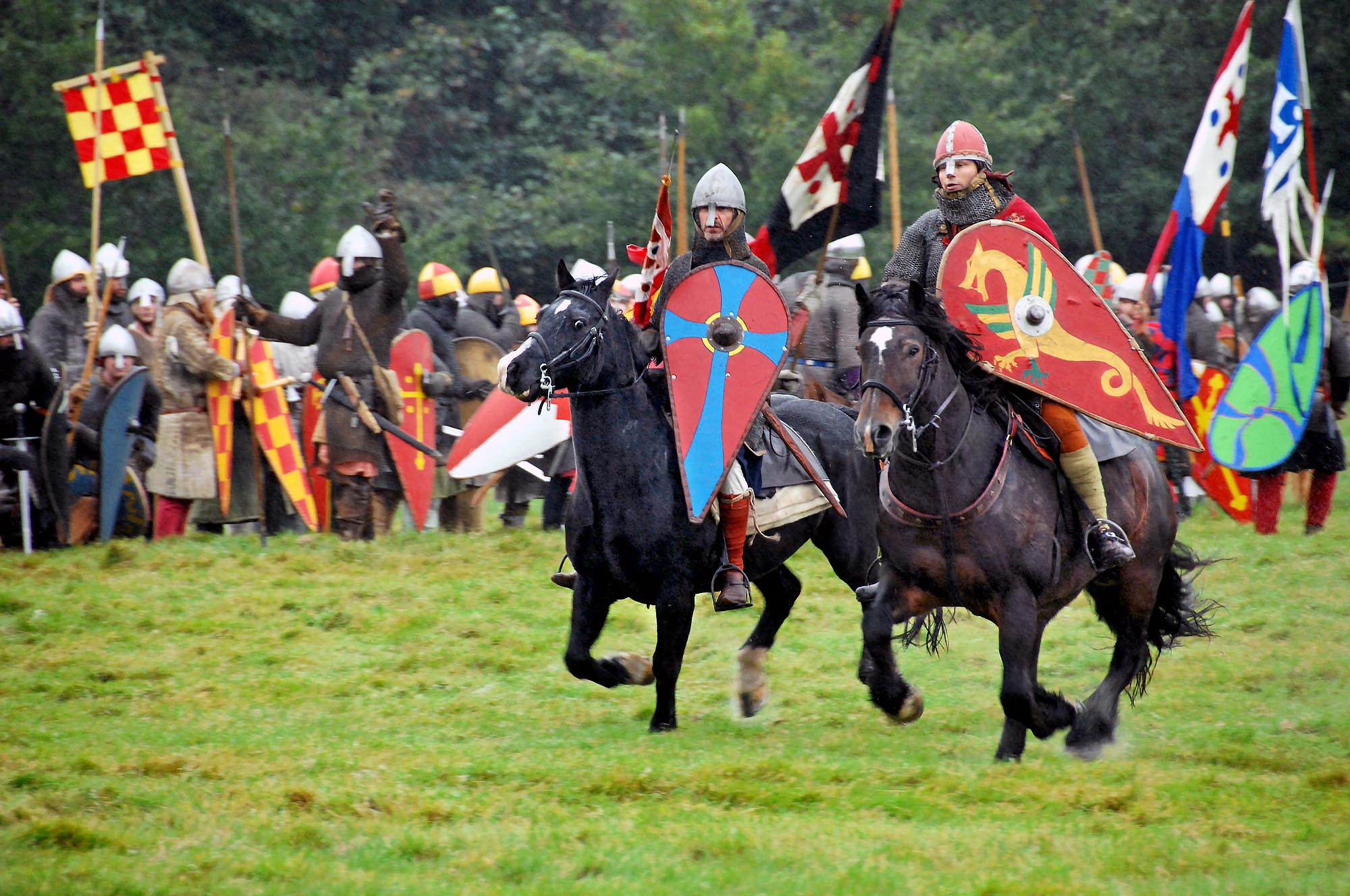
[Editor’s note: And to this day the Battle is frequently re-enacted as the photos this week and last by Chris Lawson show]
The authors behind this theory would now like help to find physical evidence that might support (or contradict) any part of this theory. The parts are not interdependent. Any or all of them could be right. And, even if they are all proved wrong, it would at least narrow the search for the real Battle of Hastings battlefield because, hitherto, no physical evidence has been found to confirm or contradict any prospective landing site, camp or battlefield.
Evidence needed
We have been told by experts that there are unlikely to be any surviving battle-era weapons or armour in the ground. Moreover, if we are right that the battle happened along Hurst Lane (to the East of the Powdermill Reservoir), we suspect that there were very few deaths at the battlefield; probably no more than a few dozen Normans and a few hundred English.
We therefore do not expect anyone to find mass graves or lots of human bones. And battlefield scavengers probably took any cash and jewellery. If there is any surviving physical evidence of the Norman occupation or fighting, we guess it will be made of lead. But no one would choose to carry around lumps of heavy lead unless it had a purpose. We invite suggestions. We can only think of one.
Nearly everyone depicted in the battle scenes on the Bayeux Tapestry carries a spear. It is difficult to see but most of them hold their spear behind the centre of gravity, presumably in order to extend the dangerous end as far as possible in front of them.
The weapons must have been balanced by a counterweight on the butt. Surviving medieval spear butts are ornamental teardrop shaped or spherical. But we doubt that either side had the time, resources or inclination to make thousands of pointlessly ornamental spear butts.
Some battle re-enactment participants have told us that they counterweight their spears with lead weights on the butt. This sounds cheap, quick and easy. We guess that everyone apart from the barons counter-weighted their spears simply by shoving the spear butt into a short length of hollow lead pipe.
If so, these hollow lead pipes might well have survived in the ground. They would be perhaps 8cm long with a 3.5cm external diameter and 2.5cm internal diameter.
Of course, we would love to hear about other 11th century finds in the region, but we don’t expect any to be battle related. The landing site, Norman battle camp and English camp were only occupied for a day or two each. There is unlikely to be any evidence of occupation, apart perhaps from cooking, food carcasses, sanitation and metalwork.
In principle, there should be a better chance of finding occupation evidence at the Winchelsea Norman Sea Camp, because the Normans were there for several weeks, but it has been redeveloped since. Our best hope of evidence is probably non-metallic. Each of the locations offers some hope.
Landing site
William was not to know that the Saxon garrisons at Lympne and Pevensey would be deserted on the day of the invasion. He would have thought that one of the biggest risks in the entire venture was being attacked at the landing site before he could unload and saddle his horses. We think that the north bank of the Brede had two unique attractions:
1) A wide flat firm riverbank – able to support mounted horses – comprised of 100 salt-evaporation ponds;
2) A narrow pinch point on the Udimore ridge at Sowdens (half way between Broad Oak and Udimore on the B2089) that could easily be blocked, in order to buy time to unload the horses, assemble a kit fortress and establish bridgehead fortifications.
We think that the entire saltpan plain was protected by a 2m high levee along the banks of the Brede. Freshwater dilution would be prevented by channelling or culverting streams coming off the ridge. The weather in Britain was not hot enough to crystallize salt.
For an example of how it worked and what it might have looked like, check out the National Trust website for the Newtown saltpans on the Isle of Wight . As at Newtown, concentrated brine would be crystallized over a flame in a string of salt houses located parallel to the river and inland of the saltpan plain. We guess that these are the huts depicted in Bayeux Tapestry Panels 41 and 42.
We are interested in evidence for any of this, such as salt layers in the ground, tiles from channels or culverts, salthouse sized foundations, or a vestigial levee parallel to the Brede. There is also a twin-tower structure to the right of Tapestry panel 42. It is often said to be the first Norman kit-fortress but can’t be.
That fortress was wood palisades whereas the twin-tower structure is stone and open fronted. It must have pre-dated the invasion, presumably Saxon but perhaps Roman. Something to do with salt processing or warehousing perhaps? We would love to hear from anyone that has an idea about its purpose.
One reason for our confidence that the Normans landed in the Brede is that two contemporary accounts describe an English spy watching the Norman fleet pass from the base of a sea cliff. We think this must have been Cadborough Cliff because it is the only estuary side cliff in the region.
Another clue is that several contemporary accounts say that the Normans passed between two fortresses as they entered England. We think one of these fortresses was at Winchelsea, which means the other was probably at Cadborough. We are interested in any evidence for this fortress.
English camp
We think that the English camped on the Great Sanders ridge. The camp’s southern boundary would have been roughly along what is now the east-west part of Hurst Lane. It was only occupied for a few days. We are not hopeful that they left any evidence of their occupation, but according to some contemporary accounts, they dug a fosse around the camp. It is possible that evidence of this survives to the north and east of the camp.
Norman Sea Camp
The Norman Sea Camp, which we think was at Winchelsea, is depicted on Tapestry Panel 45. We think that the fortress on the top of the hill was the Alfredian burh of Hæstinga Ceastre. We are not the first to propose that Hæstinga Ceastre was at modern Winchelsea.
There have been several inconclusive archaeological excavations to look for evidence. We are interested in any new or unpublished evidence that might support this conjecture. We would also love to hear from anyone that has a plausible idea about the purpose of the timber tower to the right of Panel 45.
Norman Battle Camp
Once Harold started fortifying the English camp, William would have realized that his ambush plan was not going to work. Instead he needed to attack the English camp. He brought all his forces to a battle camp overlooking the Brede, at what is now Pestalozzi and Cottage Lane.
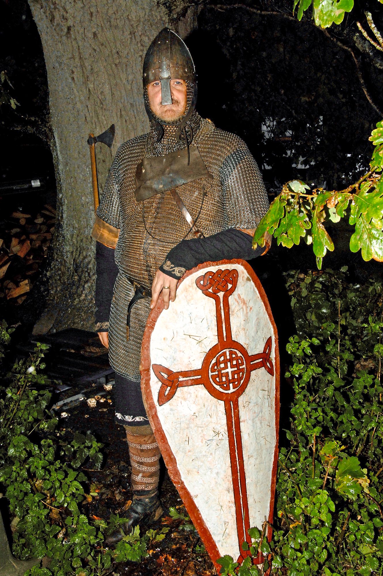
One of the contemporary accounts reports that Harold looked down on the riverbank where he saw tents, weapons, armour and banners. He could hear the horses, but not see them. We guess that they had been left to graze on the south side of the Cottage Lane ridge, probably around what is now Great Buckhurst farm. Two thousand horses for two weeks might have left some evidence of their presence, lost horseshoes perhaps. So the authors, two of whom are shown below, are seeking evidence. Can you help ?
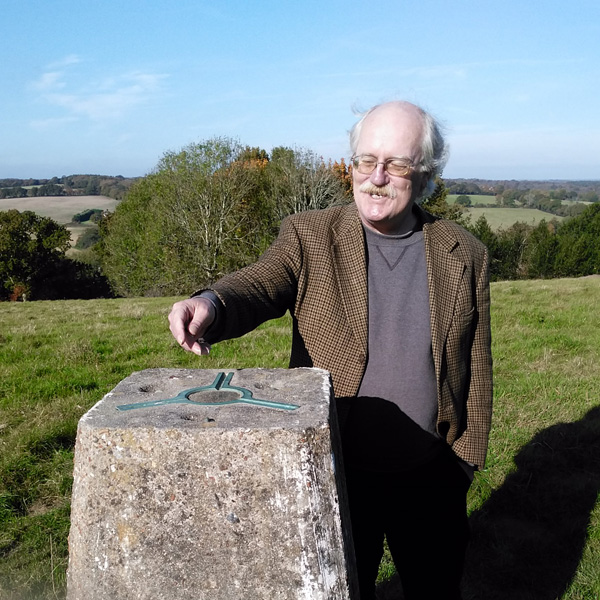

Image Credits: Chris Lawson , Jonathan Starkey .
An intriguing thesis
I wondered, has it been considered that the battle was not necessarily restricted to a particular hill or field? More that it was fragmented. Do we assume either Harold or William and more likely their generals had studied military strategy. Historians tell us that Feint Attacks and Retretes were used successfully by the French, so is it proberble his Generals were scholars of the Greek Xenophon, amongst others? William was almost certainly aware of Charlemagne’s battles tactics in France, just 200 year before. If the case, it is likely they put other known military theories into practice. We might then assume the battle raged chaotically over many miles inland from the landing points, with each side attempting to out flank or distract the other.
If there was rough weather in the channel that September, is it possible William’s ships became separated and made land at numerous locations. His forces became fragmented as a result; so encountered the English at a number of locations? Perhaps the Normans used their displacement as an advantage by haranguing Harold’s weary army or its long caravan on its way down to the ‘main’ battle? Anyway, history tells us, confusion often comes out on top in battle, but historians don’t like messiness.