

High tides and strong winds last weekend (September 28 and 29) yet again tested Rye’s flood defences and demonstrated who is already at risk in Rye Harbour.
In Rye itself flood gates were closed and the high tide was close (but not too close) to the water level for which the defences were designed – but the predictions of future tide levels are changing.
And, even if the predicted tide levels did not change, last weekend highlighted once again the need for the long-awaited improved defences on the eastern side of the Rother – which never seem to have a firm date for their start.
Defences on the western side held firm again and demonstrated that the Environment Agency policy (in various places around our country’s coastline) of soaking off high tides into adjacent low-lying areas – in our case the nature reserve – does help reduce the threat.
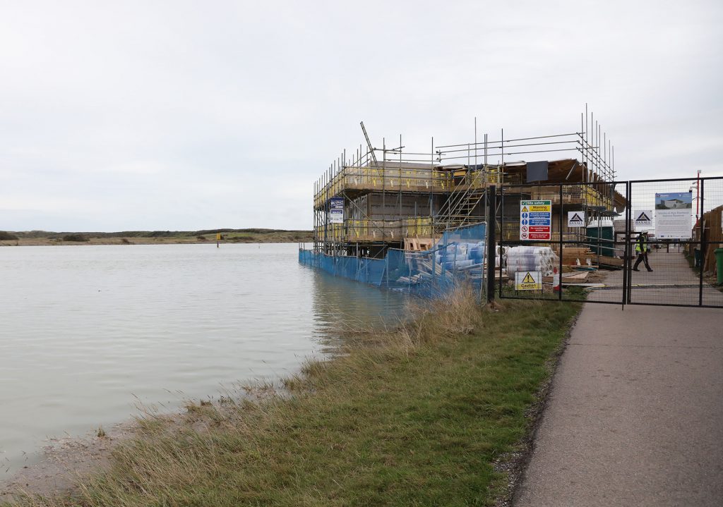
But it again highlights the vulnerability of some areas, particularly around Rock Channel – and the risks that any developments there must take into account.
As someone who had been living in the Rye Harbour caravan park at the time of of the last serious high tides it was both sad (and reassuring) to see the nature reserve then turn into a huge lake stretching along to Winchelsea Beach.
The highest water level reached on that occasion was however only a couple of inches below the defensive wall and well above the roofs of the caravans, theoretically safely protected by the wall.
It is reassuring that the nature reserve took these threats into account by designing a Discovery Centre which would be above anticipated high tides – as is the lifeboat station on the whole. Others however (like the Sailing Club) were deluged yet again.
But, and this is a big but, it is predicted that climate change, and melting polar ice-caps, will mean sea levels around the world rising to much higher levels by the end of this century.
And this prediction needs to be taken into account both in respect of existing flood defences, and planned defences on the eastern bank, but also in respect of how these higher levels might affect Rye, Camber and other vulnerable areas along the coast and alongside our rivers.
Rye was once effectively an island surrounded by marshes with a limited causeway link to Rye Hill – and it may return to that state within the lifetime of some of our younger residents.
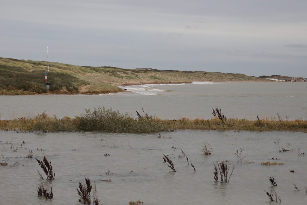
Image Credits: John Minter , Kt Bruce .
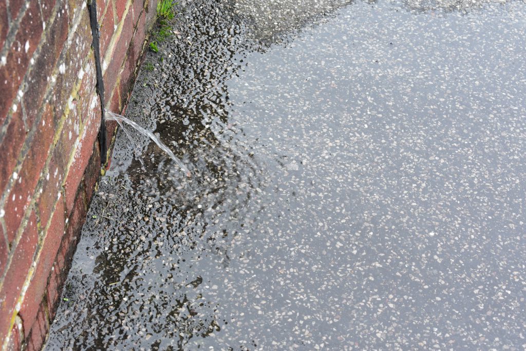
The solutions to the now famous regular ‘Kettle o’ Fish flood’ has been made obvious by Charlie’s photos and comments.
1. The trickle from a construction joint in the flood wall could be fixed with the correct joint filler and mastic. Rye Hire is a few metres away and will oblige.
2. The road gully and drain fail every time. The obvious solution is as suggested, a new gully at the lowest point and a new drain across the road to discharge into the Tillingham, where the water level is lower than the high tides of recent years.