

The tidal surge which hit the east coast in early December was considered the “most serious” for 60 years. Not since the floods of 1953 have we seen sea levels at a height which threatened homes and infrastructure from the Wash to Sandwich. Unlike 1953, extensive flood defence work in recent years means we are better prepared and defended against extreme tides and water levels, but flood risks do remain.
What caused the December 2013 tidal surge? Three factors combine to the surge effect. First there were very high “spring” tides; secondly, low pressure in the North Sea caused water levels to rise further and, lastly, there were strong northerly on-shore winds which tend to funnel tidal streams into the relatively enclosed shape of the North Sea. Although the worst effects were felt along the East Coast, as in 2007, we saw an adverse impact in the English Channel coast as far as Rye Bay.
With Rye at the confluence of three rivers and under tidal influence, water levels are always of concern, but in recent years, flood defences have been greatly improved, with raised and improved river and sea walls fitted with flood gates on access points. Once a forecast of an extreme tide above 4.7m is given Environment Agency teams close the flood gates and at low tide drop the river levels on the Brede and Tillingham to cope with river flow.
On the night of December 5-6 high tide was forecast for around midnight at a level of 4m, but for an hour afterwards the sea surged to a new high: 5.1 m at the Rye Strand ramp opposite the River Haven Hotel. At its peak, the water rose about half-way up the flood walls/gates at the Strand (within 70cm or 22.5 inches of the top) but, apart from seepage through one or two weak spots, the system held.
In the Rock Channel, some workshops and garages on the river side of the defences took in water; the basements of the houses at Rock Channel Quay are designed to be part of the river wall and also flooded. At Rye Harbour, a flap cover on a drain outlet failed to seal properly, allowing water to flow within a metre or so of houses. The sailing club clubhouse was less fortunate and was badly damaged and, down on the nature reserve, Lime Kiln Cottage Visitor Centre was flooded and part of the road outside was washed away.
The event showed that when the flood defence system works, even under surge conditions, the risk to Rye is managed – but if any part of the infrastructure fails then the situation can worsen rapidly, with homes and businesses threatened. High tides are only one aspect of flood risk. As we see in mid and West Sussex, after days of heavy rain, groundwater and rivers combine to levels which the river beds cannot contain. Overtopping of river banks follows, placing further load on the combined water and waste sewerage systems. Therefore the conditions which give the most concern in Rye are when there is a combination of: spring tides with a surge of water on top; strong on-shore winds; persistent heavy rainfall on saturated ground, perhaps with some ponding, and high river levels.
Rye depends on numerous open drains and sewers to carry surface water away to the rivers. Some are on private land and therefore owners have “riparian responsibility” for maintenance. Runoff from dwellings is often designed to flow into the combined sewerage and waste water system, but an excess will overload the system. The result can be very unpleasant as the fluid escapes to lower ground. Therefore, extreme conditions combine to test all parts of the sea and river defence infrastructure and the combined sewerage and water run-off system. This highlights the need for continual and regular maintenance of valves, flaps and pumps, for it is often this work which is cut back in times of financial constraint.
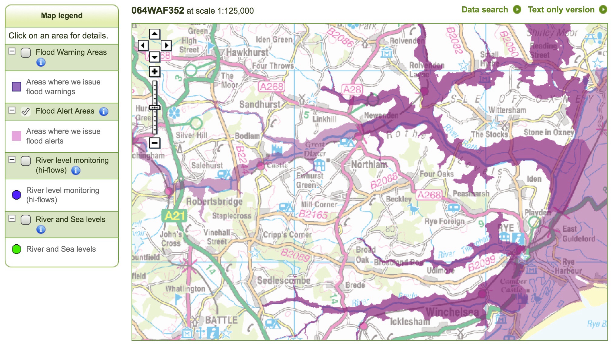
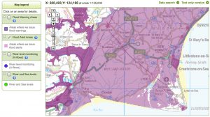
For those who live or work on the flood plain (shown on the Environment Agency risk map), it is important in times of extreme weather to listen to the Met Office forecasts and Environment Agency warnings. These are designed to “Alert but not Alarm”. When there is high risk, residents should also be prepared to react to the instructions from the emergency services and local authorities. I lead the Rye Emergency Action Community Team (REACT) which works with the professionals, including the Environment Agency, to press for flood defence improvements before any event. Should there be a failure, the team will provide local advice, help with communication and the identification of community resources.
REACT is often asked about flood risks around Rye, particularly where development has taken place on the flood plain. There are risks which, when the system works, are mitigated. If there are failures, human or technological, then there are contingencies in place to deal with them.
www.facebook.com/pages/Rye-Emergency-Action-Community-Team-REACT
Image Credits: Rye News library https://www.ryenews.org.uk/opinions/rye-really-risk-flooding , Environment Agency .