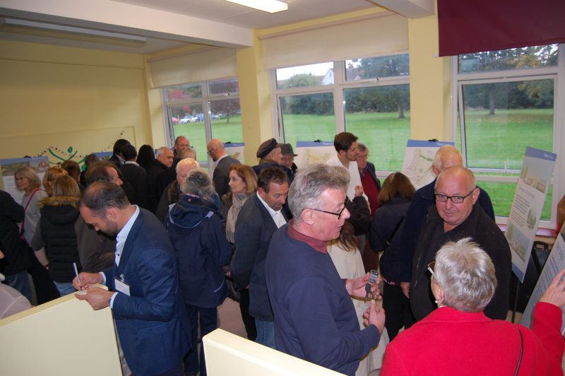
Plans for housing on the former Lower School site in Rye next to the Ferry Road level crossing, were strongly criticised and then rejected at the town council meeting on Monday January 28, despite receiving a half-hearted welcome for the principle of residential development on the site.
Rye’s Mayor Cllr Mike Boyd summed this up by saying: “We want to see the site developed, but in the right way,” after former councillor Mike Eve commented from the public seats: “We need to work with them [the developers]” adding “and we also need to rethink how we deal with cars.”
The site has been allocated for housing in Rye’s proposed Neighbourhood Plan and the vice-chairman of the plan’s steering group (RNPSG), Anthony Kimber, said the council needed to include these comments in its response to the application.
The proposal, as with a recent one for Tilling Green (also a former school site), is on land at risk from flooding, and recent approved housing developments in the Rock Channel and Winchelsea Road areas have allowed for that with garages under homes and living areas
(particularly bedrooms) at first floor level.
However this plan for 65 homes (38 houses and 27 flats) – a reduction on the 72 homes proposed in 2017 – does not seem to take account of the housing which has already received approval and been built elsewhere in the town.
But in response to criticisms, the proposed access to the site has been moved further away from the railway level crossing and the fire-station side road by proposing to demolish the Queen Adelaide pub.
Cllr Bernardine Fiddemore expressed concern however about the loss of this social hub and Cllr John Breeds said Ferry Road already had parking problems before this development.
Cllr Cheryl Creaser said the town also needed to be clear on what affordable homes for local people would be provided.
Dave Bookless, speaking on behalf of Rye Conservation Society, which has submitted detailed comments, said: “We need to get this right.”
The RNPSG commented there had been little contact with the developers, or any further public consultation, since 2016 and suggested the parking provision was inadequate and could be misused.
It suggested that without parking controls the site’s parking spaces could become used by those seeking to avoid traffic wardens in the town centre, the council was told.
Details of the planning application can be found on Rother District Council’s website where many comments and concerns have already been expressed.
Image Credits: Kenneth Bird .


I totally understand and agree with counsellor Cheryl Creaser.
We do need local housing for local people.
Lower school site, What about a picnic area for tourists. And locals can use it for events,
The lower school site cost Sainsburys millions of pounds, and being a brownfield site, they will be looking for a return,when it is eventually sold off for housing, we have a lot of green spaces around town,many not used very much now,like masons field,and the old town Salts,which is quite adequate for locals and tourists alike.
Didn’t Sainsbury’s sell the site to developers Plutus Developments nearly three years ago?