Sunday and Monday September 29 and 30 saw very high tides. Officials from the Environment Agency and Drainage Board said the Monday forecast was for high water to almost 5m AOD (above ordnance datum) but in fact the Strand marker indicated slightly lower and certainly below those experienced in December 2013 (5.1m) when there was tidal surge on top of high tide.
Back flooding at the turn into Winchelsea Road
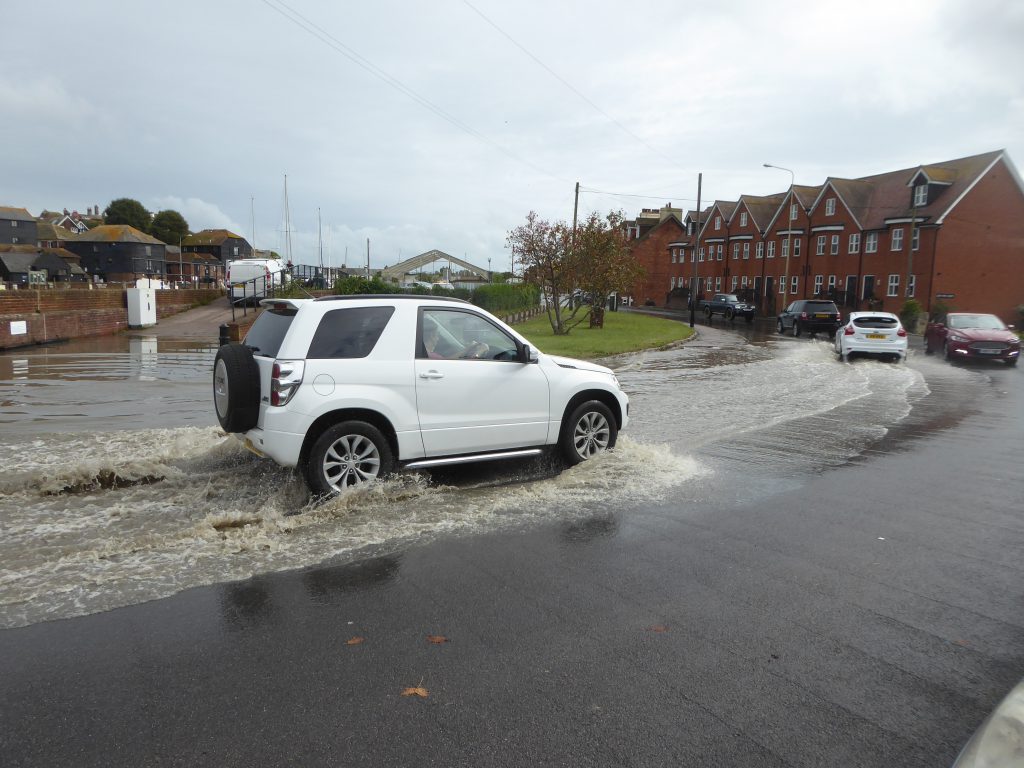
Throughout, the Environment Agency had operational teams deployed to close flood gates and monitor levels. The defences held but with some leakage, particularly at the north end of the Strand, aggravated by a repeat offending road drain back-flooding, probably because its flap did not close effectively. The latter has been reported to Highways on many occasions but to no avail. More attempts will be made. What is needed is a drain to the lower Tillingham side to conduct surface water away from the road. Further south, there was road surface water near the Riverhaven Hotel where another drain had back-filled. All these issues will be reported for action.
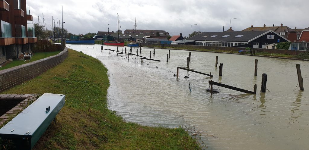
In the Rock Channel, people anxiously monitored the rising levels. Some watched as the new riverside footpath at Bridge Point was submerged by the tides as was predicted when the planning proposal was agreed.
The footpath at Bridge Point, now under water
Some raised the risks at the eastern side of the Rother where “freeboard” was only around 0.7m at Monday’s high water. The Eastern Rother tidal walls (improvement) scheme is being planned by the Environment Agency to improve defences, but the project has “stalled”. This is raised regularly at the Southern Region Flood and Coastal Committee (SRFCC), which sets priorities for flood defence work across the South. Meanwhile the “soft” banks of the Eastern Rother are regularly inspected by the Environment Agency from Scots Float, which is leading the improvement project. These risks will be raised again at the October meeting.
Concerns about climate change arose. This is regularly on the agenda of the SRFCC, where all planning factors in climate change impacts. At Committee, the Rye experience of December 2013 has been reported, when a forecast 4.1m AOD tide reached 5.1m AOD against the Rye defences of around 5.8m AOD. Climate-change modelling now reveals that this 0.7m “freeboard” could be eroded by estimated sea level rise over the next 100 years. (Forecast is between of 0.7m and 1.15m rise). Therefore Rye’s defences will need to be lifted over the next 50 years. The Committee Chair is a climate-change flood risk adviser at national level. He reports that this issue is being raised at the highest levels.